Planetary
Coral Reef Foundation Science Report
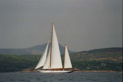
A GPS track is recorded along the coastline in the 2-5 meter zone of the reef.
During the track, observations on both the land and the reef are made.
Observations on the land include any prominent manmade or environmental landmarks,
as well as the contour of the islands coastline. The reef along the GPS track is
continuously monitored by manta towing behind the inflatable small boat.
All observations on live and dead coral cover, distinguishing landmarks such as
large coral bommies, sand or seagrass patches, bottom structure and contour are recorded.