| |
Mapping Coral Reefs from Space
A. Mapping Coral Reefs From Space
B. The Case for Remote Sensing of Coral Reefs
C. Coral Reef Satellite Mission
To further its mission, PCRF has assembled an
interdisciplinary team of advisors and scientists from a variety of institutions
including: the College of Charleston, Linnaean Society
(U.K.), MIT, Scripps Institution of
Oceanography, the Stevens Institute of Technology and USC.
Over the past decade, at a series of workshops and conferences, this team
has explored the question of whether it is possible to map coral reefs from
space, detect change, and then monitor changes in their
health and vitality conditions over time.
Using radiative transfer
theory, PCRF's team has investigated the upwelling optical properties of reef
organisms, and results indicate coral reef signals can indeed be observed from
space. (Lubin et al, 2001). In 1991, Dr. Phil Dustan, PCRF's Principal
Investigator for the study of coral reefs, was the first to map coral reefs
using satellite imagery, thereby proving it possible. Dr. Dustan's studies
were conducted off the Florida coast, and he used Spot satellite
imagery
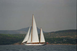
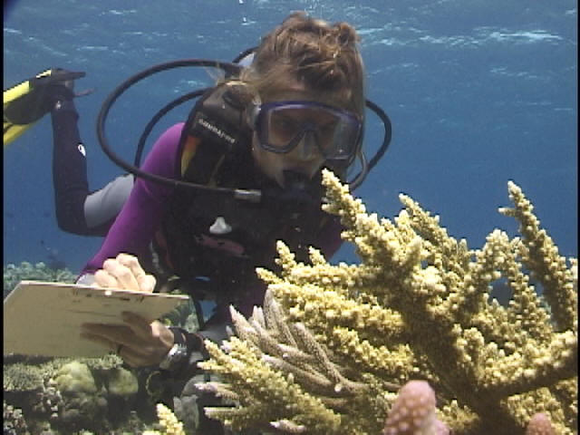
(Dustan et al, 2000). Since then, the team on board PCRF's research vessel has conducted ground-truthing operations on coral reef
communities in Southeast Asia comparing actual surveys to Spot imagery. Further
research is now underway which demonstrates how satellite imagery can be used to
detect change in coral reef health through remote sensing (Dustan et al, 2002).
Although existing satellite technology, such as Spot,
Landsat and Ikonos, has provided imagery proving the possibility of mapping and
monitoring coral reefs from space, these images are far too gross to provide the
level of quantitative and qualitative data necessary for creating a
comprehensive map of living coral reefs or detecting and monitoring changes in
their health on a global basis. These existing satellite systems do not possess
the spatial, spectral or orbital specifications required for this purpose.
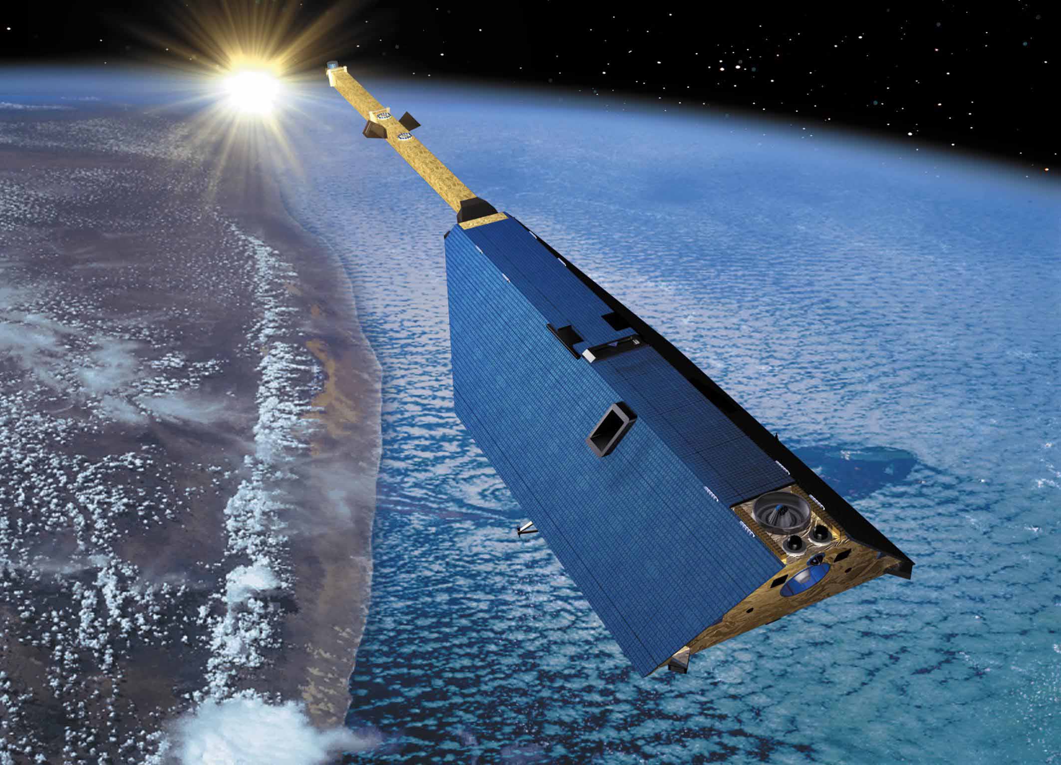
Therefore, a specially designed coral reef sensor needs to be placed on a
dedicated satellite to achieve this objective.
Additionally,
for remote locations, satellites must be specifically programmed to acquire
imagery, and until recently, reefs have not been considered important targets.
For this reason, while single, gross images of coral reefs exist, these images
are not acquired routinely but rather selectively and by chance and largely at
the discretion of government agencies who happen to deem a tropical country or
coastline of political or military significance. Thus, it is rare to find
multiple useable images of individual reef systems ñ which are essential for
mapping and monitoring them over time. Finally, even if it were possible to
acquire all the existing satellite images necessary to cover the coral reef
global area, these images would still be very imprecise for coral reef mapping
and monitoring, and the cost to purchase these images ñ not including analysis
and presentation ñ is estimated to exceed $50 million.
Remote sensing technology is the only means to supply the
data necessary to map and monitor reefs on a global scale in a cost and time
effective manner. Traditionally, reef health has been estimated using expensive
and tedious underwater survey techniques that by definition cannot cover large
areas. Remote sensing by satellite offers the potential to survey coral reef
ecosystem health on a geographic scale not previously possible. This becomes
even more important when one considers the remoteness of most reefs and the
expense of expeditionary travel. However, it is not a simple task because coral
reef environments are optically, spatially, and temporally complex. To extract
meaningful information from satellite imagery, techniques must be developed to
relate the electronic signals received by a spacecraft to the optical properties
of the reef community and its associated biological processes.
Specifically, the myriad of beautiful colors on a coral
reef are a mixture of the optical properties of plant and animal pigments,
including the symbiotic zooxanthellae
of corals, substrate characteristics, and the overlying water column (Dustan et
al, 2000). Individual colors blend together with increasing scale, generating a
larger scale collage that can be identified by spacecraft imagery. This signal
becomes degraded as it passes through the atmosphere and water due to the
wavelength-specific selective absorption of light. This degradation can be
partially mitigated if the properties of the air and water column are known, and
accurate depth measurements can be correlated to the precise geographic
coordinates of a geo-registered satellite image.
It is important to note that remote sensing in tropical
environments is further complicated by the high probability of cloud cover, and
clear scenes can be difficult to obtain. For this reason, multiple orbital
passes by a satellite dedicated to the study of coral reefs are critical and an
imperative for obtaining the data necessary to map and monitor them over time.
Time-series analysis ñ comparing multiple images of a
single reef over time ñ shows the variability of the upwelling signal of the
reef. While a single image provides only a snapshot of the reef, a time series
analysis can provide the data needed to validate the mapping of the reef and its
communities, track changes in coral community structure and health and make
predictions about the future health and composition of the reef. Such an
analysis can distinguish daily and seasonal variability from larger community
scale ecological degradation. In order to accurately interpret the images, we
need to understand the effects of both natural and human-induced change on the
upwelling signal from a reef.
Presently, the most complete coral reef time series exists
for the Florida Keys. Using twenty-two Landsat images of the northern Keys from
1982 to 1996, a team led by Dr. Dustan has performed an analysis of pixel-scale
variation through time, termed temporal texture. Using both Landsat
satellite images and in situ observations, this team has shown that the process of reef
degradation has altered both the spatial patterning and variability of pixel
brightness, which can be identified in unclassified Landsat imagery (Dustan et
al, 2002).
References:
Dustan, P., S. Chakrabarti, and A.
Alling. 2000. Mapping and Monitoring the Health and Vitality of Coral Reefs
from Satellite: A Biospheric Approach. Life Support and Biosphere Science,
Vol 7: 149-159.
Dustan, P., E. Dobson, and G. Nelson.
2002. Remote Sensing of Coral
Reefs: Detection of Shifts in Community Composition of Coral Reefs Using the
Landsat Thematic Mapper. (In revision, Conservation Biology)
Lubin, D., W. Li, P. Dustan, C. H.
Mazel, and K. Stamnes. 2001. Spectral Signatures of Coral Reefs: Features
from Space. Remote Sensing of Environment, 75, 127-137.
|
|


